A seafarer’s guide to electronic charts
In the beginning, as kids, we learned to tie knots with line because we needed to. We learned the arithmetic of time, speed, and distance because we needed to. We learned to guess distances by eye, and we measured distances on paper charts. We envisioned bathymetry from soundings and contours on those charts. We wanted to stay afoat. We learned to find direction on those charts and to steer by compass and charted ranges. We wanted to get home. We calculated the current based on a sequence of fixes and guesses. Then came Loran lines in tables, then printed on charts, then digital positioning, and then the lines went away.
During all of the decades of Coast Guard licensing, we proved the rudimentary skills on those charts with little made-up stories: You are steering 045°M and your water log says 8.7kts; at 0602 Southeast Light bears 358°M; at 0619 SE Lt is abeam; what is your charted depth, and what should you steer to enter East Passage, and allowing for set & drift when will Castle Hill Lt is abeam to starboard? Those paper charts for licensing from 1991 are still required even though in our year 2025 all U.S. paper charts are now obsolete – other countries have similar plans.
In US waters as a non-SOLAS navigator you must now only “portray enough detail to make safe navigation of the area possible” using an ENC on an 8″ or 10″ tablet (NVIC 01-16 Ch.3, 2025). In our time now, all navigation is electronic in combination with visual piloting. But neither those combination of skills nor the use of the electronic charts is demonstrated for licensing.
One question we must remain willing to answer is: How is it possible to run aground when we know where the bottom is down to the meter and in precise position down to the second? I would declare a crime of negligence to be a seafarer licensed at any level and to not be skilled in the use of electronic charts. As a kid in 2025 training to be a seafarer, where is practice on electronic charts? Why is it not ubiquitous, part of a GIS unit in Junior High?
All marine mapping puposes will soon share a common information format for the first time in history. Vessel chart systems for this new evolution will be available in a year or two. But not the practice, not the licensing, not the on-board requirements, at least in the U.S. In fact, the maritime profession will likely witness the passing of yet another generation at the peak of their skills yet lacking mastery of electronic charts in combination with piloting.
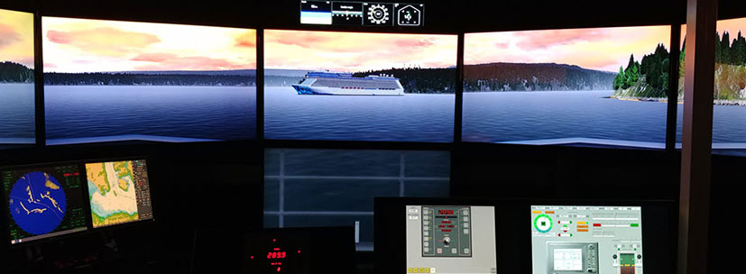
The navigating elders’ reluctance and clumsiness and embarrassment has become the normal for junior seafarers to witness. In the process, our seniors have relinquished their ages-long role of mentorship when it comes to electronic chart navigation & piloting. Just like the development and upkeep of any skillset, electronic chart navigation requires practice, practice, practice in real time with a visual environment.
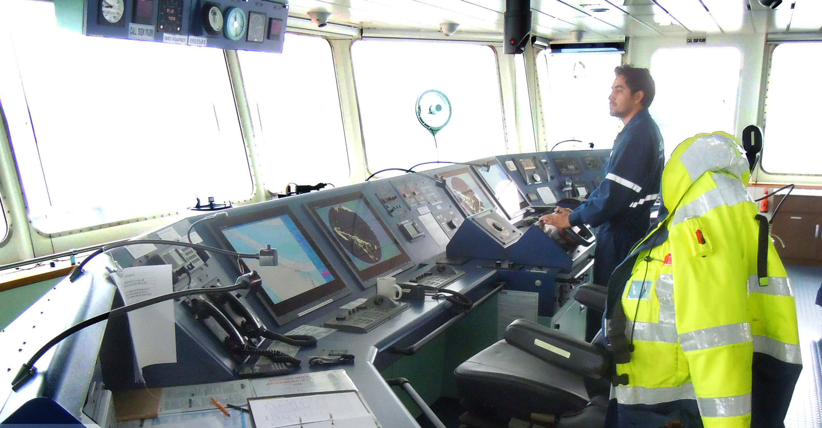
The ECDIS is the chart, but unlike paper, it supports very many awarenesses in real time, given the user’s focus & practice: Positioning, speed, safe water, safe zones, traffic management, confined maneuvering, berthing, safety of life, etc.